

Aerial Mapping

Agriculture Drones for Aerial Mapping
At Aerospray Drone Solutions, we specialise in aerial mapping to deliver fast, accurate, and cost-effective property assessments—particularly for identifying invasive weeds in pastureland. Our advanced drone technology allows us to pinpoint problem areas with far greater precision than traditional ground-based methods, saving both time and resources.
How Our Aerial Mapping Process Works
Our process begins with the deployment of a high-resolution mapping drone, purpose-built for detailed aerial surveying. This drone captures ultra-clear imagery of your entire property from above, offering a bird’s-eye view that reveals what may be difficult to spot from the ground. Unlike manual spot-spraying or labour-intensive inspections, aerial mapping covers vast areas in a fraction of the time—without compromising on accuracy.
Once the images are captured, they are processed using a combination of manual expertise and advanced artificial intelligence. The software meticulously analyses each image, detecting and identifying individual weeds scattered across the landscape. This level of detail allows for a far more strategic approach to weed control, reducing waste and ensuring targeted treatment.
From Mapping to Action: Smart Spot Spraying
After completing the mapping analysis, the system generates a precise prescription map that highlights every identified weed location. This data is used to create an automated flight plan, which is then uploaded to our T50 agricultural drone.
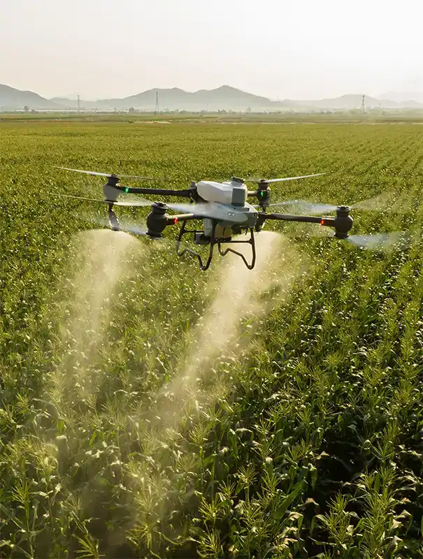
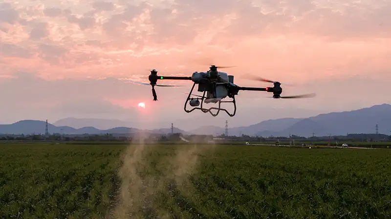
Armed with the prescription map, the T50 drone takes to the sky once again—this time to spot-spray each weed patch with pinpoint accuracy. This targeted spraying method eliminates unnecessary chemical use, protects healthy pasture, and ensures a more sustainable and efficient outcome.
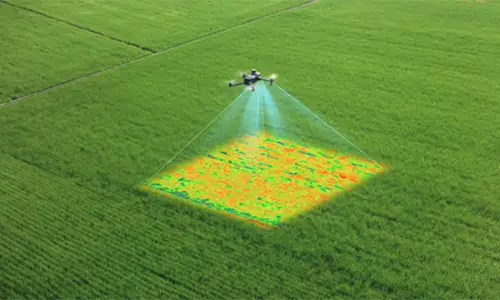
MAPPING DRONE MISSION
The mapping drone provides exceptional accuracy and seamlessly adapts to terrain variations. Equipped with a high-resolution multispectral camera, it captures detailed images capable of identifying specific weeds or crops that require variable rate applications.
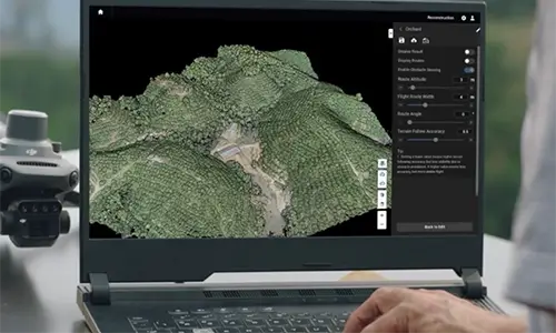
IMAGE PROCESSING
After completing the mapping mission, we utilize DJI Terra to generate a high-resolution map of the area. From this map, a combination of AI and manual inputs is used to accurately identify target plants, obstacles, no-application zones, and potential hazards
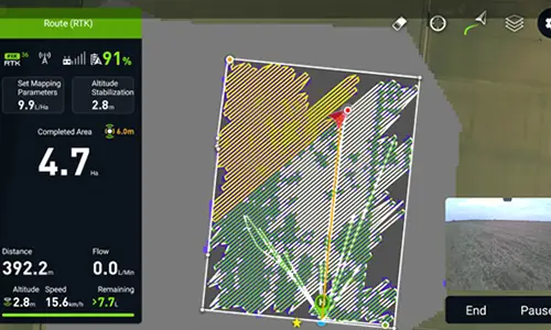
APPLICATION
The final stage involves creating a flight route to overlay the prescription map. We configure parameters such as product application rate, altitude above the crop, and flight speed before the T50 begins the mission on-site. Additionally, we have the flexibility to adjust any parameters in real-time as on-site conditions change.
Aerospray Drone solutions
Proudly offers a range of services such as Aerial Spreading, Aerial Mapping, Drone Seeding and Roof Spraying.
Trusted by Professionals Across Australia
For further information on drone technology and its role in Australian agriculture, you can visit:
Australian Government – Agriculture
For more information, Contact Us.
Check out our drones in action


Give us a call for a no obligation quote
See why so many others like our level of service!
